
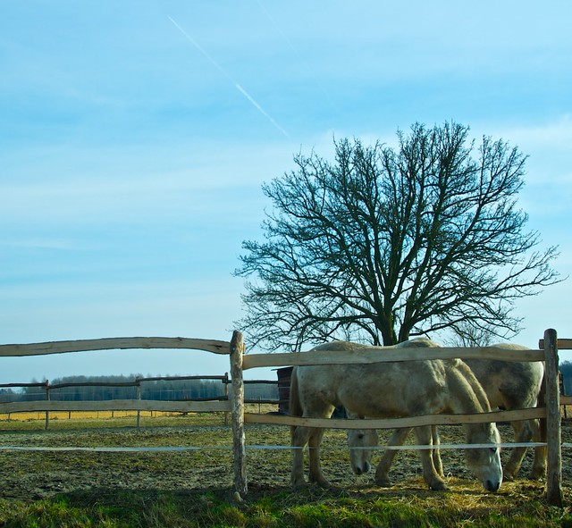
The hubs and I biked to "Drie Fonteinen." There is a huge park in Vilvoorde with the same name, where the Brasserie Drie Fonteinen is also located (except in Vilvoorde). We intended to bike to 3Fonteinen in Beersel (drie = 3, fonteinen = fountains in Dutch). In the Flemish parts of Belgium, the Fietsnet is indispensable as a guide for planning a biking route (see end of post). Biking one-way and then taking the train back is a good day-trip option. Most cities in Belgium will be connected with trains, and a day pass for bikes is EUR 8.
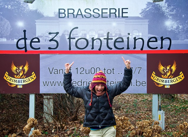
In researching the destination and route of travel the hubs and I independently found the same location and didn't think twice about it. We even did this over several days. In fact, we wrongly read both sites and thought they were the same thing. So once we got to the Brasserie Drie Fonteinen we realized our mistake. We sat down and looked off the single lambic on the menu, and then ordered up some Grimbergens. We chuckled. What the heck else can you really do? So while the Brasserie Drie Fonteinen is not 3Fonteinen, it is a nice restaurant with a huge terrace and garden. And the mostly flat ride was quite enjoyable.
Beersel would have been too far anyways. Bieke, thank you for calling me when my minutes ran out and telling us the opening hours of our intended destination, and not laughing hysterically at me. You are too kind.
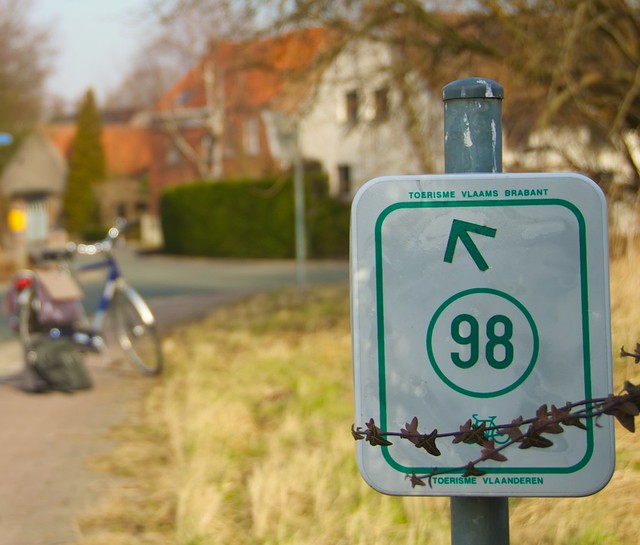
The Fietsnet is basically a Google map overlaid with connected bike-number systems. I wrote about using it here; on the zoek locatie (find location) tab type the city or area where you want to start. The map will zoom into the location and a series of red dots will appear. Click each red dot to choose the route. It may take a few tries. White lanes mean paved roads, orange means gravel or semi-hard (which can sometimes mean dirt or biking through a corn field), and blue is cobblestone. Sometime the Fietsnet will take you around a city if the city doesn't have good bike lanes. It's optimized for the bike rider because it avoids heavy car traffic areas, and it always opts for the most quiet and scenic riding situations. It is the single best way to explore Belgium. Exporting to GPS is possible. If you have questions or notice that signs are missing, take a minute to report it here. Check out there list of cycling websites too. Now, don't you want this idea of an online connected updated useful bike number trail system in the city/region/area/state you live? It makes travel without a car a complete and total reality? It is seriously the best thing ever.
That pic of you is so YOU! Made me grin.
ReplyDeleteJai